
The dLRev is a web-based application with a digital address map (local plan) of a district produced using a geographic information system. The local plan has a spatial database and with a corresponding fiscal cadastre of revenue items, the software is used to manage data, billing, and collection. The software is currently set-up for property rates and business operating permits, but also provides for other revenue items namely rents (district infrastructure given for public use such as market sheds, stalls and stores), fees (for use of market grounds and lorry parks), fines (for flouting by-laws of the local authority) and investment (investment in securities).
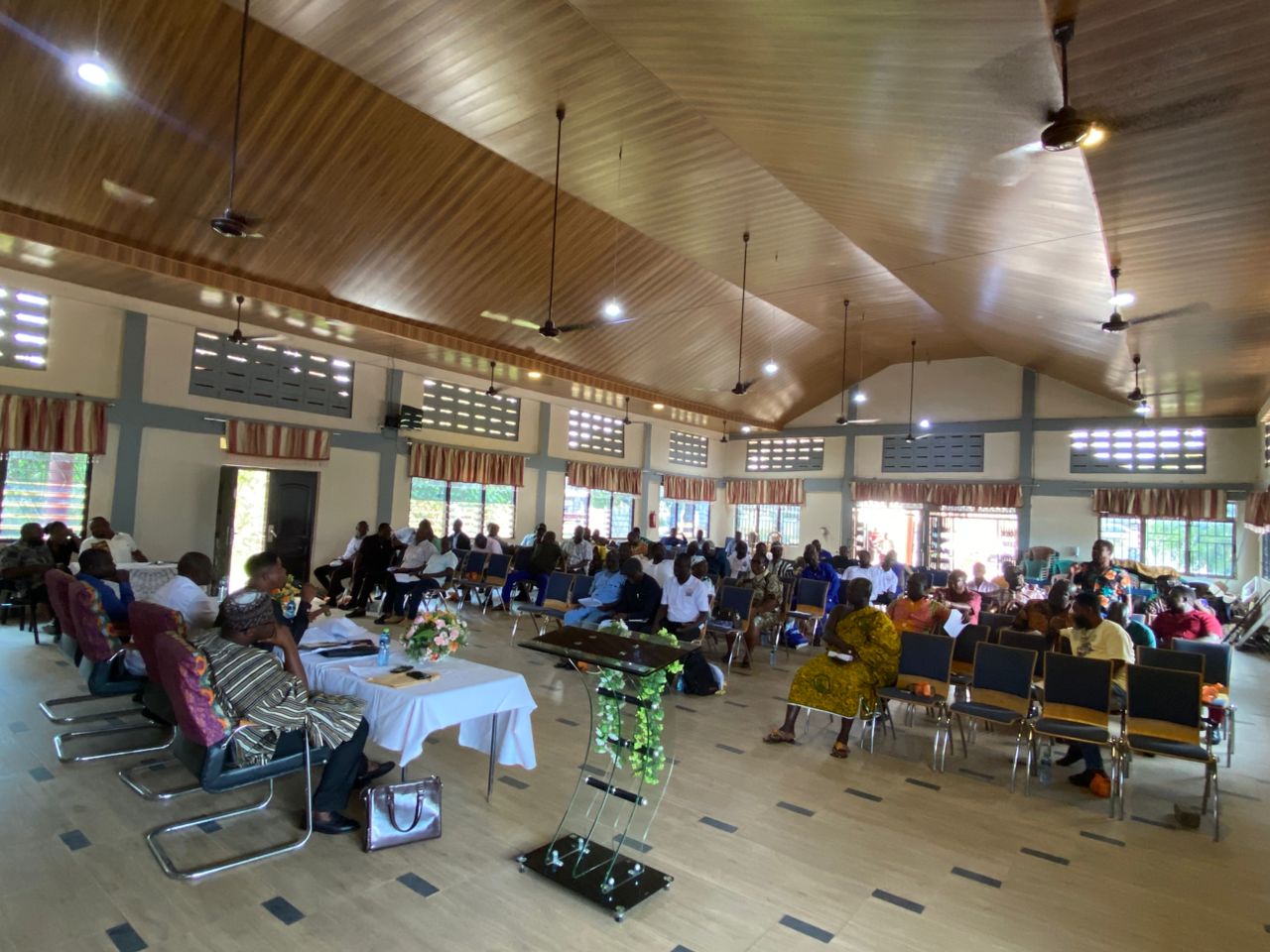
The GIZ technical team visited the District and provided User Training on the dLRev Software. The District Management Team, Two Local Administrators from the Assembly and the Staffs at the District Physical Planning Department were trained for three days respectively. The Trainings were based on the Assembly’s ability to grasp the operation of the system. In addition the Revenue Collectors from Esereso Electoral Area were also given a specific training on the distribution of bills (demand notices) and updating of records on the software.